 Scale:1:10,000 (Currently)
Survey Period: Since 1958
Study Area:
Priority of Watersheds of River Catchments and
Rainfed Area
Covered Area:29.76 Million
ha (Upto
December 2023)
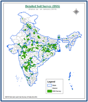
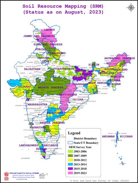 Scale:1:50,000
Survey Period:
2003-2022
No. of Districts Covered
:277
Study Area:
District
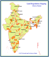
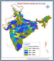 Scale:1:50,000
Survey Period:1974-2012
Study Area:
Watersheds of River Catchments
Covered Area:
262.60 Million ha
 Scale:1:50,000
Survey Period:1992-2007
No. of Districts Covered: 65
Video on Digital Micro watershed Atlas of India
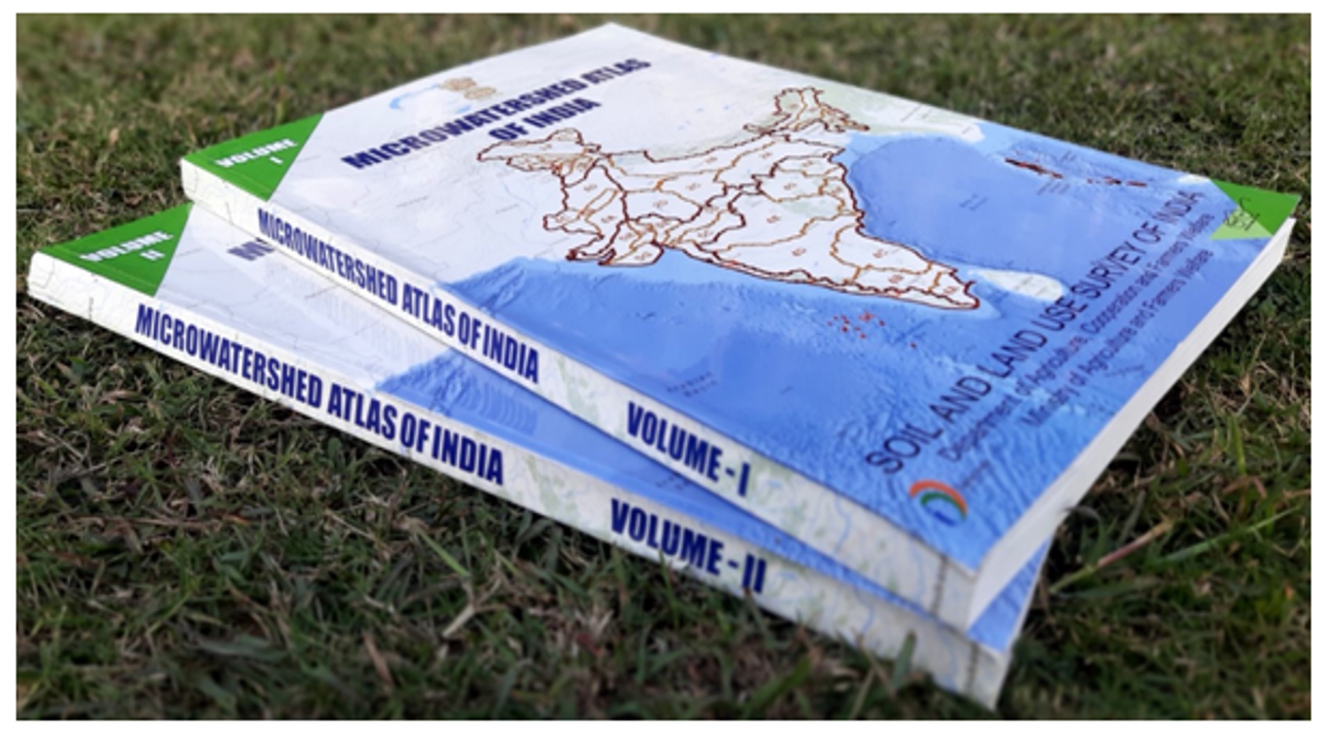
The Soil and Land Use Survey of India (SLUSI) is under Integrated Nutrient Management(INM) division, Department of Agriculture and Farmers' Welfare , Ministry of Agriculture and Farmers' Welfare, Government of India.The mandate of the organization is to provide detailed scientific database on soil and land characteristics to the user departments for watershed based soil and water conservation planning for Natural Resource Management.
MicroWatershed Atlas of India
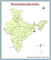 Aim:
Aim:
To identifying and recognizing each micro watershed in the country with distinct spatial extent and Unique National Code
Scale:1:50,000
Links