|
The watershed is a natural hydrological entity that covers a specific aerial
expanse of land surface from which the rainfall runoff flows to a defined
drain, channel, stream or river at any particular point. It is a general
phenomenon governed by topography of the terrain. Based on the size, the
hydrological unit is termed as water resource region, basin, catchment,
sub-catchment, watershed, sub-watershed and micro-watershed respectively.
The smallest hydrologic unit in the hierarchal system is termed as Micro
tyle: initial; text-decoration-color: initial
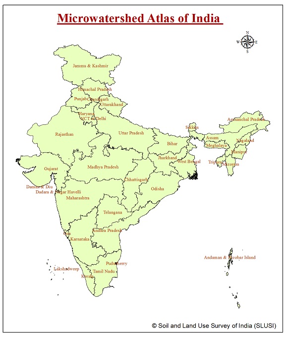
The Micro-watershed Atlas of India (1:50,000 scale ) aim is to identifying and
recognizing each micro watershed in the country with distinct
spatial extent and Unique National Code. The Micro watershed
atlas of India has been designed in such a way that user shall
be able to locate and identify the micro watershed of his
interest falling in different districts of different states of
India. The maps are
available in image (PNG) format , it can be downloaded
by click on download link below. |