|
Soil and Land Use Survey of India Department of Agriculture ,Cooperation and Farmers Welfare Ministry of Agriculture and Farmers Welfare Government of India |
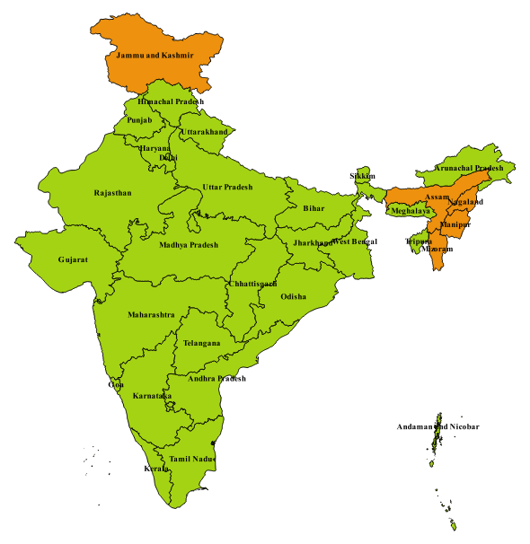
| [HOME] Microwatershed Atlas of India [Click for Atlas in PNG format ] |
|
Microwatershed Atlas of India
What is Micro watershed?
The watershed is a natural hydrological entity that covers a
specific aerial expanse of land surface from which the rainfall
runoff flows to a defined drain, channel, stream or river at any
particular point. It is a general phenomenon governed by
topography of the terrain. Based on the size, the hydrological
unit is termed as water resource region, basin, catchment,
sub-catchment, watershed, sub-watershed and micro-watershed
respectively. The smallest hydrologic unit in the hierarchal
system is termed as Micro watershed having size of 500-1000 ha.
Micro watershed Atlas of India: The Micro watershed Atlas of India aims at identifying and recognizing each micro watershed in the country with distinct spatial extent and Unique National Code. The state wise publication of atlas has been contemplated considering enormous volume of spatial data available with SLUSI. The Micro watershed atlas of India has been designed in such a way that user shall be able to locate and identify the micro watershed of his interest falling in different districts of different states of India. Present Status : Microwatershed Atlas of various States Completed Platform Free Micro watershed : Microwatershed atlas of some States/UT are available on png format [Click to Download in PNG format]
|
 |
| © 2017 Copyright Soil and Land Use Survey of India |